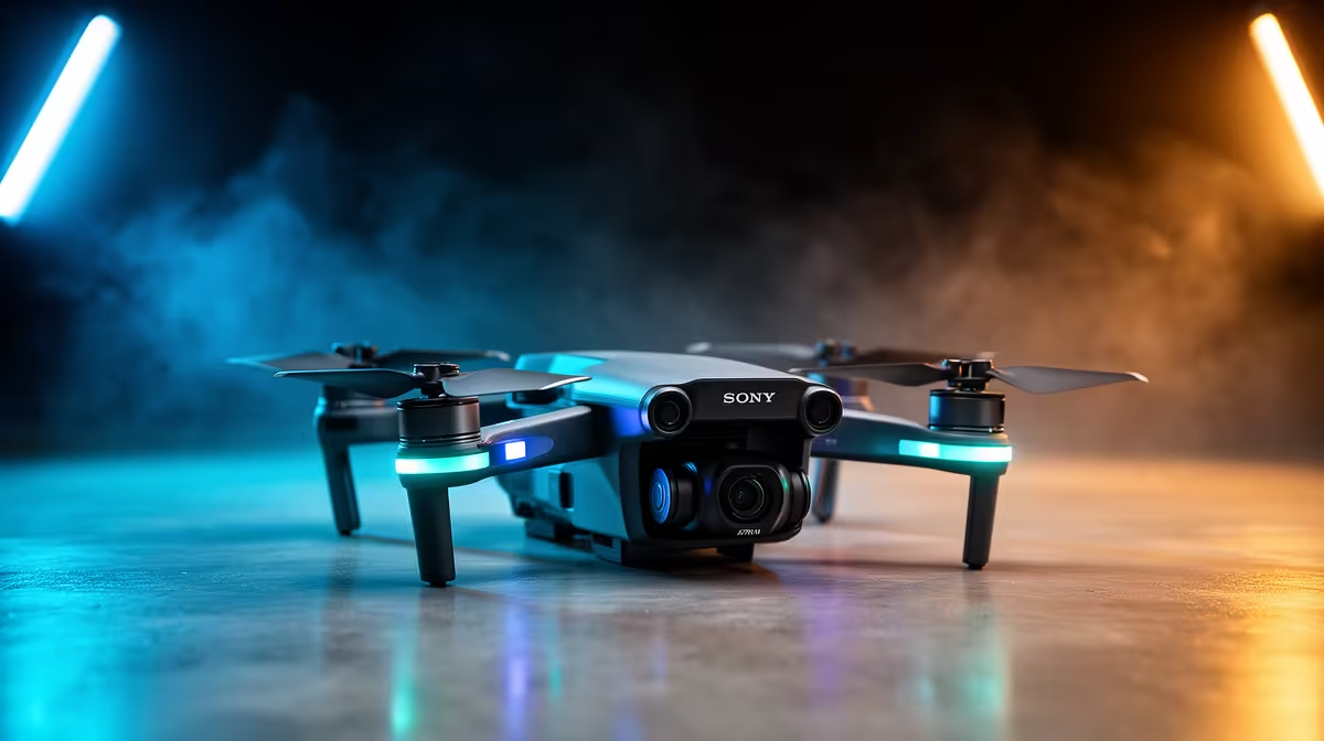
A beginner drone is overkill for a quantity surveying student unless an approved module or supervised field project genuinely requires aerial imagery. Ownership introduces aviation rules, site permission, privacy, safety, batteries and data management that ordinary measurement coursework does not need.
Define the surveying deliverable before considering an aircraft
Write the area, ground detail, coordinate requirements, overlap, weather limits and final map or model. Check current South African aviation requirements, university approval, property access and bystander privacy. Decide who validates accuracy and how imagery enters the surveying software.
No beginner aircraft and current price are verified for this surveying scenario. The ASUS ExpertBook P1503 at R9,858 is a verified laptop reference, not a field-mapping system or drone controller. The Palit RTX 5060 8GB at R4,800 is a separate graphics-card reference, not an aircraft. Confirm live GIS, photogrammetry, storage and full-system requirements.
Never let assignment deadlines override flight safety or permissions. Keep field imagery in organised, protected copies and verify coordinates before analysis. Rental, university equipment or a qualified operator may be better for occasional collection.
Buy only when repeated approved flights justify ownership. Most students should first master measurement methods, software and data quality using supplied datasets.
University-owned datasets often teach the complete mapping workflow without personal flight risk.
Preparing surveying coursework? > Compare Evetech laptops against the required software and data workflow.