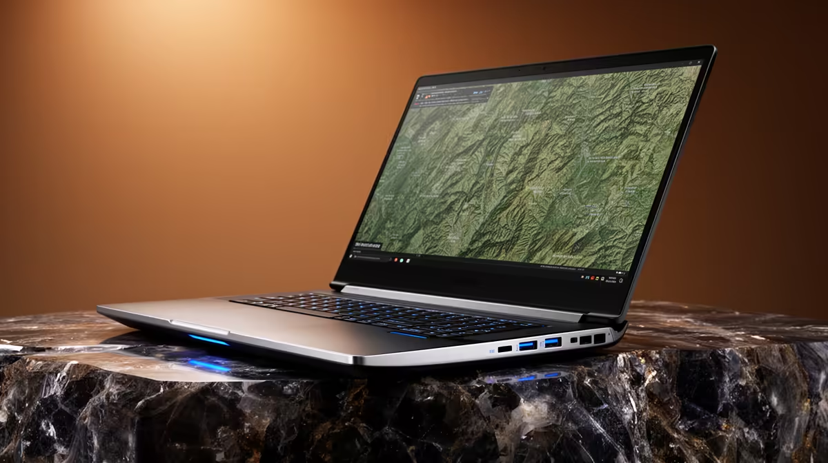
Your first map may run on modest hardware; later spatial analysis can ask far more of the same machine. Choosing a student laptop for ArcGIS means planning for the datasets and modules ahead, not just the introductory practical.
Quick Answer
ArcGIS needs grow with the work. Introductory mapping can run on a current Windows laptop with a capable entry processor, 8GB memory and an SSD. Spatial analysis, large rasters, 3D scenes and several GIS tools open together make 16GB memory, a stronger processor and more storage a safer degree target. Dedicated graphics should follow the ArcGIS product, release and module workload your department uses. Check Esri's current system requirements and the faculty software list before buying.
Map the course before the hardware
Geography and geology degrees can use ArcGIS Pro, browser mapping, remote sensing tools, statistics packages and field-data applications. The degree name cannot tell you which combination appears on your laptop.
Ask the department four things: the ArcGIS product and version, the largest project students keep locally, whether 3D or imagery work is assessed, and which tasks run in campus labs. A first-year module that teaches layers and symbology has a different load from a final-year project processing imagery.
Geology students may add modelling, logs or large survey data. Geography students may add remote sensing and spatial analysis. Either path can become demanding, so buy for the hardest confirmed module over the next two years.
Set a sensible first-year floor
An SSD is essential for responsive project loading and temporary files. Eight gigabytes of memory can support light learning projects, but it leaves less space for ArcGIS, a browser and documents at the same time.
A 512GB SSD offers a comfortable start. GIS folders can grow through imagery, cached maps and duplicate exports. Keep active projects on the internal SSD and archive completed work to another location.
Screen resolution matters because maps, panels and attribute tables compete for space. A 1080p display is a practical floor. A larger display helps at a desk, while a lighter chassis is easier during fieldwork and campus travel.
Build for later analysis
Sixteen gigabytes of memory gives the system room for larger layers and several applications. A modern Ryzen 5 or Core i5 class processor suits a wider analysis workload. More processor cores can help some operations, while strong single-core performance keeps everyday interaction responsive.
Dedicated graphics can improve 3D scenes and GPU-supported tasks. It also adds cost, heat and weight. Use the current ArcGIS requirement and the department's representative projects to decide whether the trade belongs in your course.
Memory upgrades can extend the machine. Check whether the RAM is soldered, whether a slot is open and what the laptop supports. Storage expansion or a second SSD slot can help when imagery becomes the main space user.
Match the laptop to a real project
Ask a lecturer for a non-sensitive sample or the approximate size and layer count of a later assignment. Open a similar public data set in the required software when a lab or existing machine is available. Pan the map, run a basic tool and export a layout while a browser and document are open.
This test shows whether memory fills, storage churns or graphics become the limit. It also reveals software access questions before purchase. Confirm how the university issues the ArcGIS licence, how long it lasts and whether students can install it on personal laptops.
Use current models as reference points
For lighter GIS work, July 2026 pricing put the Ryzen 5 HP 15-fc0003ni at R9,499. The supplied configuration carries 8GB RAM and a 512GB solid-state drive, with memory needs checked against your modules.
Browse mainstream laptop configurations for portable options. When 3D, imagery or another module confirms the need, compare laptops with dedicated graphics by VRAM, cooling and weight.
Protect GIS work from the start
GIS projects can break when files move without their related folders. Keep one folder per assignment and use relative paths where the course teaches them. Package projects before moving them between lab and laptop.
Back up the project and source data to an approved cloud location, then keep another copy on storage you control. Sync alone can copy an accidental deletion, so check version history and make dated exports at milestones.
Leave free SSD space for processing. A nearly full drive can slow tools and fail during a large temporary operation. Archive old imagery after checking that the backup opens.
Keep the original source data separate from processed outputs so a failed tool run never destroys your starting point.
FAQ
Can first-year ArcGIS run on 8GB memory?
Light projects can, subject to the current ArcGIS release. Sixteen gigabytes gives more headroom for later analysis and multitasking.
Does every GIS student need dedicated graphics?
No. Two-dimensional introductory work can have modest needs. Three-dimensional scenes, imagery and related applications can change the answer.
What becomes the common storage problem?
Raster imagery, cached data, exports and duplicate project folders can fill an SSD. Use a clear archive and backup routine throughout the degree.
Get the ArcGIS version and a representative later-year project, then choose a laptop with enough memory and SSD room to run both.